River Severn, Brynderwen road bridge
Introduction
The photograph on this page of River Severn, Brynderwen road bridge by kevin skidmore as part of the Geograph project.
The Geograph project started in 2005 with the aim of publishing, organising and preserving representative images for every square kilometre of Great Britain, Ireland and the Isle of Man.

There are currently over 7.5m images from over 14,400 individuals and you can help contribute to the project by visiting https://www.geograph.org.uk
River Severn, Brynderwen road bridge
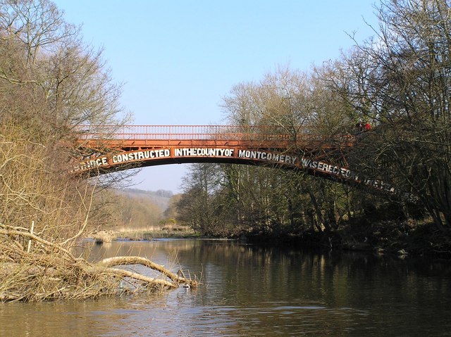
Image: © kevin skidmore Taken: 6 Mar 2005
Built in 1852, 'The second ironbridge' at the junction of the B4386 & A483. Considered to be the thirty fourth bridge from the source.
Images are licensed for reuse under creativecommons.org/licenses/by-sa/2.0
Image Location


Leaflet Map data © OpenStreetMap
Latitude
52.547637
Longitude
-3.236937