Plaque, Railway Street
Introduction
The photograph on this page of Plaque, Railway Street by Kenneth Allen as part of the Geograph project.
The Geograph project started in 2005 with the aim of publishing, organising and preserving representative images for every square kilometre of Great Britain, Ireland and the Isle of Man.

There are currently over 7.5m images from over 14,400 individuals and you can help contribute to the project by visiting https://www.geograph.org.uk
Plaque, Railway Street
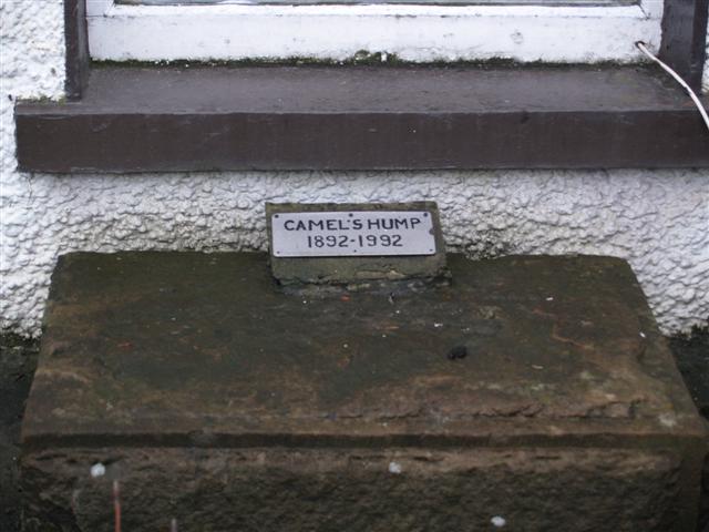
Image: © Kenneth Allen Taken: 15 Jan 2008
It depicts the fact that a well known area of Strabane called the Camel's Hump used to exist at a railway bridge between the town and Lifford. For many years it was the location of a checkpoint by the army.
Images are licensed for reuse under creativecommons.org/licenses/by-sa/2.0
Image Location
Latitude
54.828643
Longitude
-7.468608