House Meadow/Stedmans
Introduction
The photograph on this page of House Meadow/Stedmans by Simon Carey as part of the Geograph project.
The Geograph project started in 2005 with the aim of publishing, organising and preserving representative images for every square kilometre of Great Britain, Ireland and the Isle of Man.

There are currently over 7.5m images from over 14,400 individuals and you can help contribute to the project by visiting https://www.geograph.org.uk
House Meadow/Stedmans
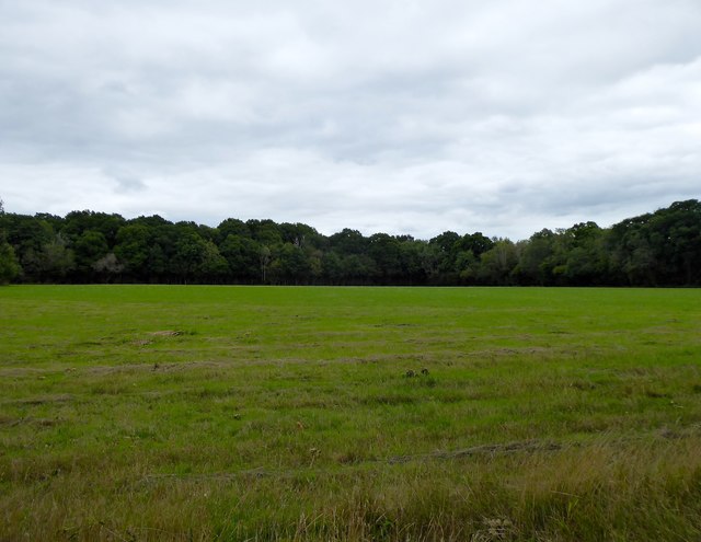
Image: © Simon Carey Taken: 30 Aug 2020
The name of the fields according to Horsted Keynes' 1842 tithe map that have been merged to form a larger unit. House meadow is in the foreground and named after nearby Leamlands whilst Stedmans is to the north. Both are bounded by Cinder Hill Lane to the west and Pain's Wood to the east.
Images are licensed for reuse under creativecommons.org/licenses/by-sa/2.0
Image Location
Latitude
51.045374
Longitude
-0.036335