A ploughed up footpath, Faversham
Introduction
The photograph on this page of A ploughed up footpath, Faversham by pam fray as part of the Geograph project.
The Geograph project started in 2005 with the aim of publishing, organising and preserving representative images for every square kilometre of Great Britain, Ireland and the Isle of Man.

There are currently over 7.5m images from over 14,400 individuals and you can help contribute to the project by visiting https://www.geograph.org.uk
A ploughed up footpath, Faversham
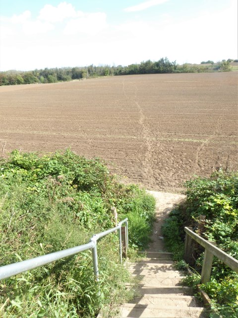
Image: © pam fray Taken: 5 Sep 2020
North of Millfield Garden Allotments, the steps lead down to farmland which, earlier in the year, held a crop of rape with a clear footpath through it. Hopefully, when re-planted, the footpath will reappear. Luckily, the ground is very dry at present and footprints indicate direction.
Images are licensed for reuse under creativecommons.org/licenses/by-sa/2.0
Image Location
Latitude
51.314205
Longitude
0.908783