Shared church, Sheffield Road, Penistone
Introduction
The photograph on this page of Shared church, Sheffield Road, Penistone by Humphrey Bolton as part of the Geograph project.
The Geograph project started in 2005 with the aim of publishing, organising and preserving representative images for every square kilometre of Great Britain, Ireland and the Isle of Man.

There are currently over 7.5m images from over 14,400 individuals and you can help contribute to the project by visiting https://www.geograph.org.uk
Shared church, Sheffield Road, Penistone
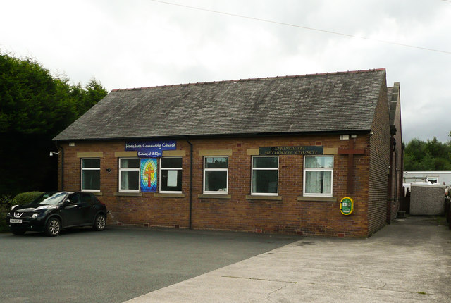
Image: © Humphrey Bolton Taken: 3 Sep 2020
This is the Methodist Church, but is also used by the Penistone Community Church. The 1929 1:2500 map shows a Primitive Methodist Church here, not shown on the previous, 1907 edition. You can see a little of this older building behind the modern one.
Images are licensed for reuse under creativecommons.org/licenses/by-sa/2.0
Image Location
Latitude
53.522777
Longitude
-1.614736