Path to Carrbridge War Memorial
Introduction
The photograph on this page of Path to Carrbridge War Memorial by valenta as part of the Geograph project.
The Geograph project started in 2005 with the aim of publishing, organising and preserving representative images for every square kilometre of Great Britain, Ireland and the Isle of Man.

There are currently over 7.5m images from over 14,400 individuals and you can help contribute to the project by visiting https://www.geograph.org.uk
Path to Carrbridge War Memorial
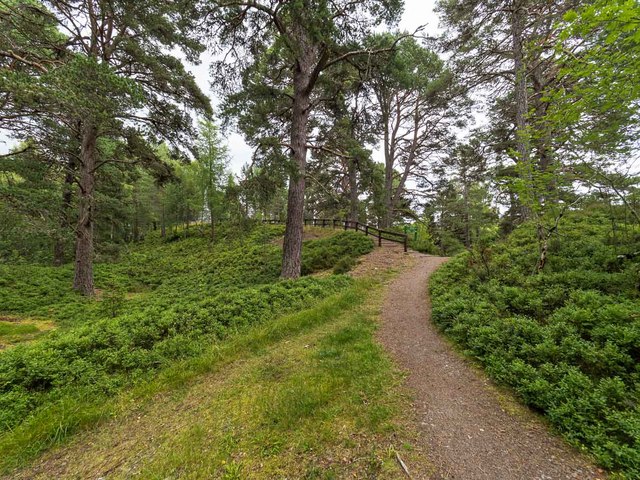
Image: © valenta Taken: 29 Jul 2020
Path in Glencharnoch Wood leading up to the war memorial, just visible in the centre-left of the image Image]
Images are licensed for reuse under creativecommons.org/licenses/by-sa/2.0
Image Location


Leaflet Map data © OpenStreetMap
Latitude
57.282468
Longitude
-3.818694