Map Reader
Introduction
The photograph on this page of Map Reader by Mary Rodgers as part of the Geograph project.
The Geograph project started in 2005 with the aim of publishing, organising and preserving representative images for every square kilometre of Great Britain, Ireland and the Isle of Man.

There are currently over 7.5m images from over 14,400 individuals and you can help contribute to the project by visiting https://www.geograph.org.uk
Map Reader
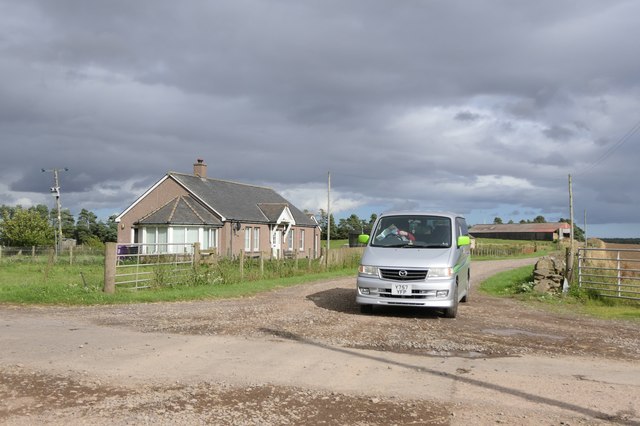
Image: © Mary Rodgers Taken: 3 Sep 2020
My map reader sitting in the van figuring out where to go next while I take a photo of the little hamlet of Little Lour.
Images are licensed for reuse under creativecommons.org/licenses/by-sa/2.0
Image Location
Latitude
56.593392
Longitude
-2.846587