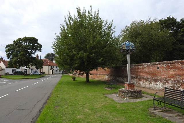
Horsham St. Faith village sign
Introduction
The photograph on this page of Horsham St. Faith village sign by Adrian S Pye as part of the Geograph project.
The Geograph project started in 2005 with the aim of publishing, organising and preserving representative images for every square kilometre of Great Britain, Ireland and the Isle of Man.
There are currently over 7.5m images from over 14,400 individuals and you can help contribute to the project by visiting https://www.geograph.org.uk

Image: © Adrian S Pye Taken: 4 Sep 2020
The sign is double sided North facing https://www.geograph.org.uk/photo/6591236 South facing https://www.geograph.org.uk/photo/6591245 In the centre of the signs is St Faith who was tortured to death over a burning brazier. The neatherd herding the oxen represents the cattle fair which used to be held annually in October. The monks belong to the Benedictine priory founded in honour of St. Faith, which once stood in the parish. The reverse shows a mediaeval scene with a man working his loom of which at one time was a major industry contracted out from Norwich. The children looking at the aircraft represent the post WW 2 generation and RAF Horsham St Faiths which has since transformed into Norwich International Airport. https://www.geograph.org.uk/photo/4592110

