The old prison wall, Lower Kirklington Road, Southwell
Introduction
The photograph on this page of The old prison wall, Lower Kirklington Road, Southwell by Alan Murray-Rust as part of the Geograph project.
The Geograph project started in 2005 with the aim of publishing, organising and preserving representative images for every square kilometre of Great Britain, Ireland and the Isle of Man.

There are currently over 7.5m images from over 14,400 individuals and you can help contribute to the project by visiting https://www.geograph.org.uk
The old prison wall, Lower Kirklington Road, Southwell
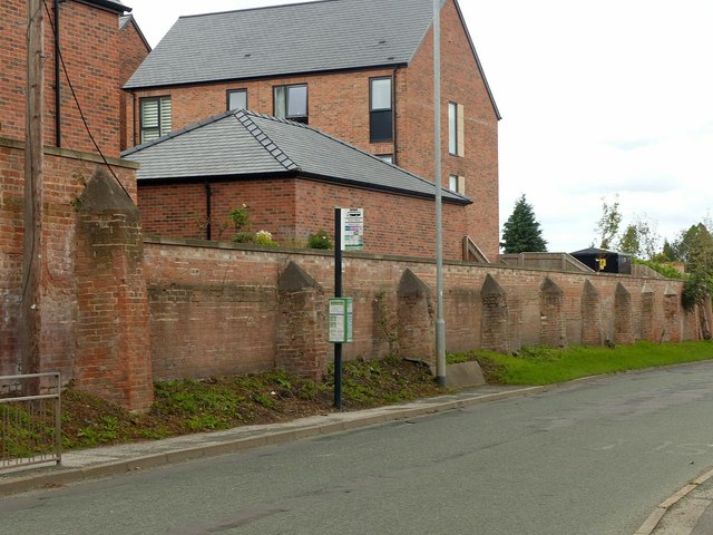
Image: © Alan Murray-Rust Taken: 30 Aug 2020
Part of the 1807 redevelopment of the House of Correction, Listed Grade II. Until the redevelopment with new housing, it was heavily overgrown
Images are licensed for reuse under creativecommons.org/licenses/by-sa/2.0
Image Location
Latitude
53.081194
Longitude
-0.94958