Watford: Humberstone Close
Introduction
The photograph on this page of Watford: Humberstone Close by Nigel Cox as part of the Geograph project.
The Geograph project started in 2005 with the aim of publishing, organising and preserving representative images for every square kilometre of Great Britain, Ireland and the Isle of Man.

There are currently over 7.5m images from over 14,400 individuals and you can help contribute to the project by visiting https://www.geograph.org.uk
Watford: Humberstone Close
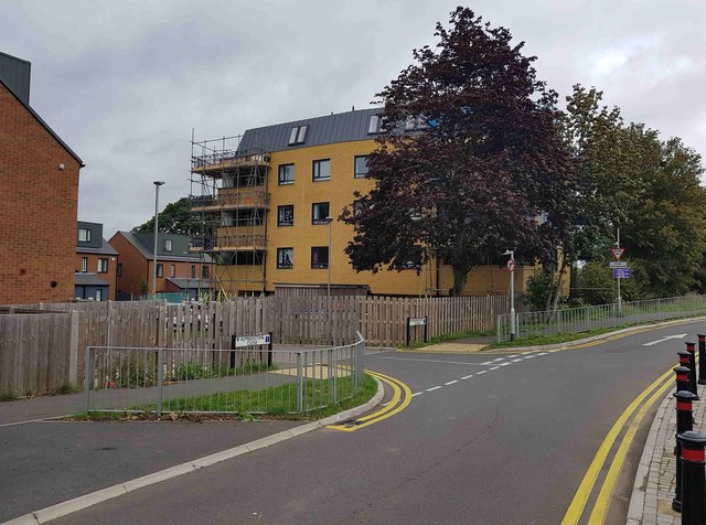
Image: © Nigel Cox Taken: 3 Sep 2020
This is the housing development on the site of Image The main buff brick block is not uniformly rectangular, but actually in the shape of a flattened octagon.
Images are licensed for reuse under creativecommons.org/licenses/by-sa/2.0
Image Location
Latitude
51.690464
Longitude
-0.40685