Western edge of Ledbury
Introduction
The photograph on this page of Western edge of Ledbury by Pauline E as part of the Geograph project.
The Geograph project started in 2005 with the aim of publishing, organising and preserving representative images for every square kilometre of Great Britain, Ireland and the Isle of Man.

There are currently over 7.5m images from over 14,400 individuals and you can help contribute to the project by visiting https://www.geograph.org.uk
Western edge of Ledbury
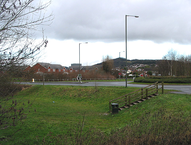
Image: © Pauline E Taken: 15 Jan 2008
Showing one of several roundabouts which route the bypass around the town.
Images are licensed for reuse under creativecommons.org/licenses/by-sa/2.0
Image Location
Latitude
52.033194
Longitude
-2.439885