The Pound at Ashwick
Introduction
The photograph on this page of The Pound at Ashwick by Neil Owen as part of the Geograph project.
The Geograph project started in 2005 with the aim of publishing, organising and preserving representative images for every square kilometre of Great Britain, Ireland and the Isle of Man.

There are currently over 7.5m images from over 14,400 individuals and you can help contribute to the project by visiting https://www.geograph.org.uk
The Pound at Ashwick
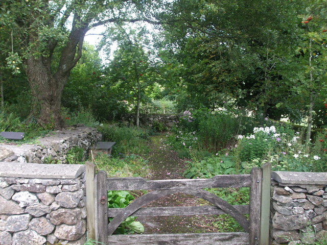
Image: © Neil Owen Taken: 20 Aug 2020
The old village pound (where errant livestock could be kept if found roaming abroad) lies at the junction of a number of local roads. It dates from perhaps the early seventeenth century if not older.
Images are licensed for reuse under creativecommons.org/licenses/by-sa/2.0
Image Location
Latitude
51.228655
Longitude
-2.525972