Coy Pond Gardens: cycle/footbridge
Introduction
The photograph on this page of Coy Pond Gardens: cycle/footbridge by Chris Downer as part of the Geograph project.
The Geograph project started in 2005 with the aim of publishing, organising and preserving representative images for every square kilometre of Great Britain, Ireland and the Isle of Man.

There are currently over 7.5m images from over 14,400 individuals and you can help contribute to the project by visiting https://www.geograph.org.uk
Coy Pond Gardens: cycle/footbridge
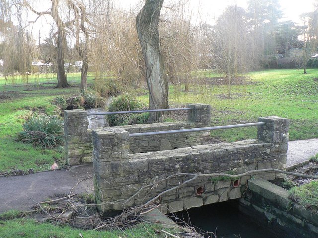
Image: © Chris Downer Taken: 12 Jan 2008
This bridge marks the point where the 'greenway', a cycleway that tends to occupy the path along the southern edge of the Gardens from Bournemouth Square, crosses the stream and takes cyclists to northern suburbs of Poole via motorable roads.
Images are licensed for reuse under creativecommons.org/licenses/by-sa/2.0
Image Location


Leaflet Map data © OpenStreetMap
Latitude
50.72965
Longitude
-1.905868