Coy Pond Gardens: top section
Introduction
The photograph on this page of Coy Pond Gardens: top section by Chris Downer as part of the Geograph project.
The Geograph project started in 2005 with the aim of publishing, organising and preserving representative images for every square kilometre of Great Britain, Ireland and the Isle of Man.

There are currently over 7.5m images from over 14,400 individuals and you can help contribute to the project by visiting https://www.geograph.org.uk
Coy Pond Gardens: top section
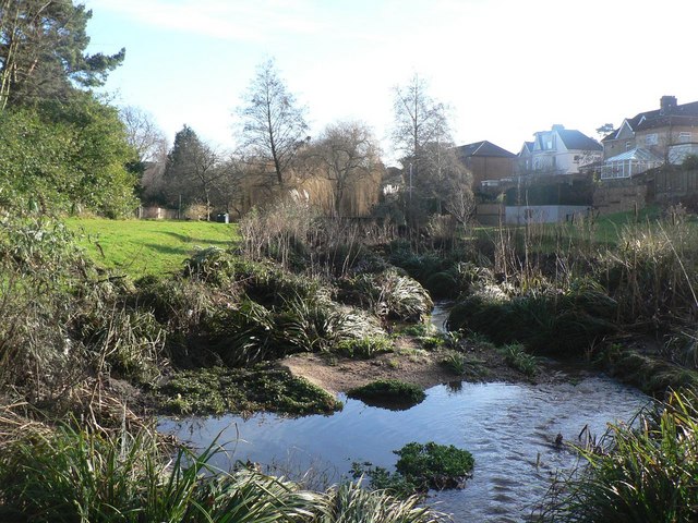
Image: © Chris Downer Taken: 12 Jan 2008
Looking down the Bourne Stream from the very top of the gardens, just after it has emerged from under the railway. This section of the gardens is in the borough of Poole.
Images are licensed for reuse under creativecommons.org/licenses/by-sa/2.0
Image Location
Latitude
50.729834
Longitude
-1.910969