Farmland and buildings near Hare Hill
Introduction
The photograph on this page of Farmland and buildings near Hare Hill by Philip Cornwall as part of the Geograph project.
The Geograph project started in 2005 with the aim of publishing, organising and preserving representative images for every square kilometre of Great Britain, Ireland and the Isle of Man.

There are currently over 7.5m images from over 14,400 individuals and you can help contribute to the project by visiting https://www.geograph.org.uk
Farmland and buildings near Hare Hill
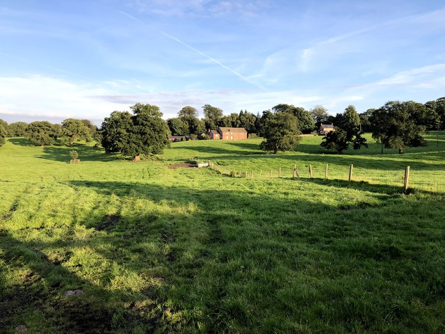
Image: © Philip Cornwall Taken: 31 Aug 2020
Taken from footpath at Mount Farm. Building on the right of picture is named as Butlers Cottage on the map.
Images are licensed for reuse under creativecommons.org/licenses/by-sa/2.0
Image Location
Latitude
53.287921
Longitude
-2.192565