Drain cover at Hawthornhill
Introduction
The photograph on this page of Drain cover at Hawthornhill by Lairich Rig as part of the Geograph project.
The Geograph project started in 2005 with the aim of publishing, organising and preserving representative images for every square kilometre of Great Britain, Ireland and the Isle of Man.

There are currently over 7.5m images from over 14,400 individuals and you can help contribute to the project by visiting https://www.geograph.org.uk
Drain cover at Hawthornhill
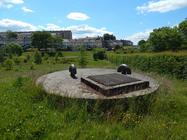
Image: © Lairich Rig Taken: 7 Jun 2020
For context, see Image and Image, in both of which the drain cover is visible. The houses in the background are in Westcliff. Behind the hedge on the right is a path (shown at the second of the links just given), formerly a road to the now gone Hawthornhill Farm: Image
Images are licensed for reuse under creativecommons.org/licenses/by-sa/2.0
Image Location
Latitude
55.949795
Longitude
-4.601409