Halesworth Thoroughfare
Introduction
The photograph on this page of Halesworth Thoroughfare by Nat Bocking as part of the Geograph project.
The Geograph project started in 2005 with the aim of publishing, organising and preserving representative images for every square kilometre of Great Britain, Ireland and the Isle of Man.

There are currently over 7.5m images from over 14,400 individuals and you can help contribute to the project by visiting https://www.geograph.org.uk
Halesworth Thoroughfare
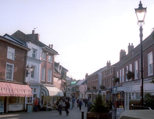
Image: © Nat Bocking Taken: Unknown
Until the 1980's this was a main road. This view matches a Frith postcard taken in the 1930's. Little has otherwise changed.
Images are licensed for reuse under creativecommons.org/licenses/by-sa/2.0
Image Location


Leaflet Map data © OpenStreetMap
Latitude
52.344527
Longitude
1.50155