Moon's Bottom
Introduction
The photograph on this page of Moon's Bottom by Neil Owen as part of the Geograph project.
The Geograph project started in 2005 with the aim of publishing, organising and preserving representative images for every square kilometre of Great Britain, Ireland and the Isle of Man.

There are currently over 7.5m images from over 14,400 individuals and you can help contribute to the project by visiting https://www.geograph.org.uk
Moon's Bottom
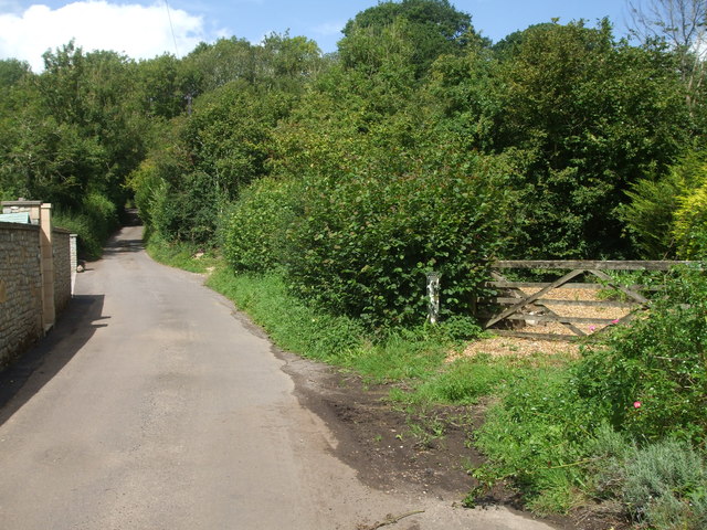
Image: © Neil Owen Taken: 20 Aug 2020
An unusual place, but where the early branches of the Mells Stream gather and run under the bridge. The water course forms the parish boundary and a marker post can be seen next to the gate. See Image] for a better look.
Images are licensed for reuse under creativecommons.org/licenses/by-sa/2.0
Image Location
Latitude
51.244703
Longitude
-2.516557