A small farm track, North of Packington
Introduction
The photograph on this page of A small farm track, North of Packington by Oliver Mills as part of the Geograph project.
The Geograph project started in 2005 with the aim of publishing, organising and preserving representative images for every square kilometre of Great Britain, Ireland and the Isle of Man.

There are currently over 7.5m images from over 14,400 individuals and you can help contribute to the project by visiting https://www.geograph.org.uk
A small farm track, North of Packington
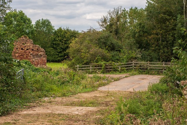
Image: © Oliver Mills Taken: 31 Aug 2020
The stone ruin on the left, according to old maps, was located immediately beside Ashby Road (before its re-routing a few metres East to cross the A42). Further left beyond the picture, not easily visible from the public footways, is an abandoned ARCON prefab and a telecommunications mast in an enclosed compound.
Images are licensed for reuse under creativecommons.org/licenses/by-sa/2.0
Image Location


Leaflet Map data © OpenStreetMap
Latitude
52.734852
Longitude
-1.465913