Valley below Shaws Farm
Introduction
The photograph on this page of Valley below Shaws Farm by Oliver Dixon as part of the Geograph project.
The Geograph project started in 2005 with the aim of publishing, organising and preserving representative images for every square kilometre of Great Britain, Ireland and the Isle of Man.

There are currently over 7.5m images from over 14,400 individuals and you can help contribute to the project by visiting https://www.geograph.org.uk
Valley below Shaws Farm
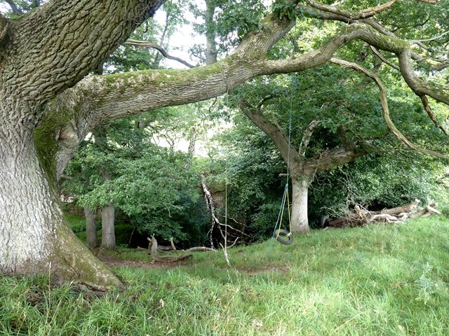
Image: © Oliver Dixon Taken: 31 Aug 2020
A tiny stream cuts a deep cleft into the hillside below Shaws Farm. The map depicts waterfalls, but for most of the time the trickle of water would not make for an impressive sight. A couple of home-made swings hanging above the gorge offer some childish excitement.
Images are licensed for reuse under creativecommons.org/licenses/by-sa/2.0
Image Location
Latitude
54.967444
Longitude
-2.341102