Westall House, Birchgrove Road
Introduction
The photograph on this page of Westall House, Birchgrove Road by Simon Carey as part of the Geograph project.
The Geograph project started in 2005 with the aim of publishing, organising and preserving representative images for every square kilometre of Great Britain, Ireland and the Isle of Man.

There are currently over 7.5m images from over 14,400 individuals and you can help contribute to the project by visiting https://www.geograph.org.uk
Westall House, Birchgrove Road
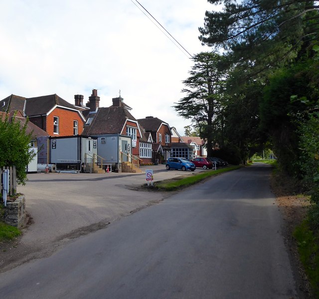
Image: © Simon Carey Taken: 30 Aug 2020
Currently a retirement home. Originally the site of Clarkes Farm which was rebuilt in the late 19th century. Since then the building has been known as Hazelwood and Keynes Place.
Images are licensed for reuse under creativecommons.org/licenses/by-sa/2.0
Image Location


Leaflet Map data © OpenStreetMap
Latitude
51.03904
Longitude
-0.018059