Bonfire Cottage, Bonfire Lane, Horsted Keynes
Introduction
The photograph on this page of Bonfire Cottage, Bonfire Lane, Horsted Keynes by Simon Carey as part of the Geograph project.
The Geograph project started in 2005 with the aim of publishing, organising and preserving representative images for every square kilometre of Great Britain, Ireland and the Isle of Man.

There are currently over 7.5m images from over 14,400 individuals and you can help contribute to the project by visiting https://www.geograph.org.uk
Bonfire Cottage, Bonfire Lane, Horsted Keynes
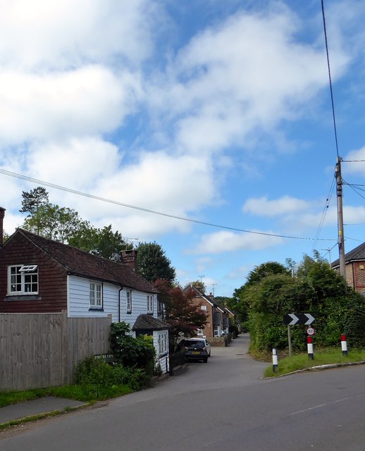
Image: © Simon Carey Taken: 30 Aug 2020
Dating from at least the 19th century and once a small shop up until at least the 1970s.
Images are licensed for reuse under creativecommons.org/licenses/by-sa/2.0
Image Location
Latitude
51.035807
Longitude
-0.023617