Rain-flattened grass, Livermead
Introduction
The photograph on this page of Rain-flattened grass, Livermead by Derek Harper as part of the Geograph project.
The Geograph project started in 2005 with the aim of publishing, organising and preserving representative images for every square kilometre of Great Britain, Ireland and the Isle of Man.

There are currently over 7.5m images from over 14,400 individuals and you can help contribute to the project by visiting https://www.geograph.org.uk
Rain-flattened grass, Livermead
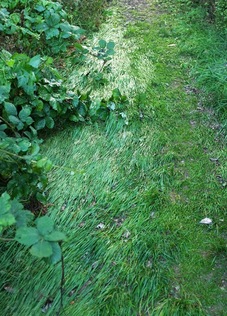
Image: © Derek Harper Taken: 27 Aug 2020
On footpath TQ 164#1 between Woodleys Meadow and Wheatridge Lane, and the result of torrential rain about three hours earlier.
Images are licensed for reuse under creativecommons.org/licenses/by-sa/2.0
Image Location
Latitude
50.454089
Longitude
-3.548751