Scrivelsby Park: aerial 2020 (3)
Introduction
The photograph on this page of Scrivelsby Park: aerial 2020 (3) by Chris as part of the Geograph project.
The Geograph project started in 2005 with the aim of publishing, organising and preserving representative images for every square kilometre of Great Britain, Ireland and the Isle of Man.

There are currently over 7.5m images from over 14,400 individuals and you can help contribute to the project by visiting https://www.geograph.org.uk
Scrivelsby Park: aerial 2020 (3)
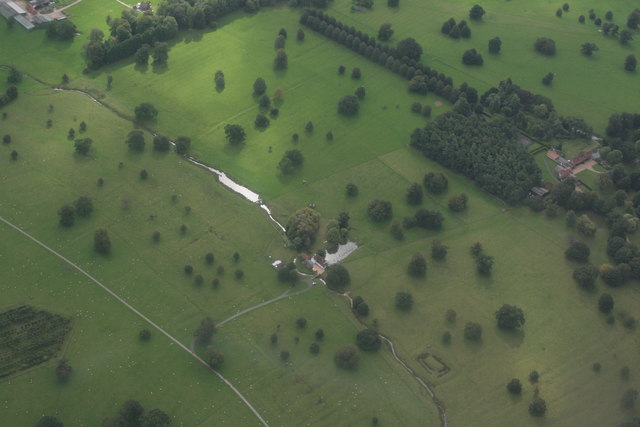
Image: © Chris Taken: 30 Aug 2020
See https://www.heritagegateway.org.uk/Gateway/Results_Single.aspx?uid=MLI42728&resourceID=1006 The rectangular feature bottom right is thought to be a fishpond rather than a moated site - see https://www.heritagegateway.org.uk/Gateway/Results_Single.aspx?uid=MLI40790&resourceID=1006 and https://www.heritagegateway.org.uk/Gateway/Results_Single.aspx?uid=1017390&resourceID=5
Images are licensed for reuse under creativecommons.org/licenses/by-sa/2.0
Image Location
Latitude
53.17917
Longitude
-0.099637