Churchyard cross
Introduction
The photograph on this page of Churchyard cross by Philip Halling as part of the Geograph project.
The Geograph project started in 2005 with the aim of publishing, organising and preserving representative images for every square kilometre of Great Britain, Ireland and the Isle of Man.

There are currently over 7.5m images from over 14,400 individuals and you can help contribute to the project by visiting https://www.geograph.org.uk
Churchyard cross
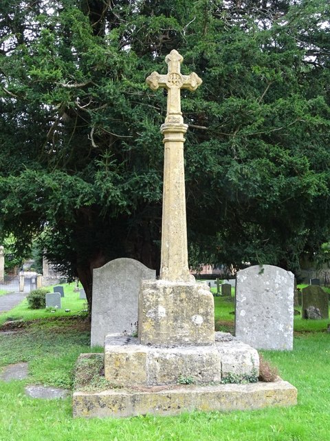
Image: © Philip Halling Taken: 29 Aug 2020
Churchyard cross dating from the late medieval period with a modern shaft. The cross is in just south of St Michael's church, South Littleton. The cross is Grade II listed, see: https://historicengland.org.uk/listing/the-list/list-entry/1303161
Images are licensed for reuse under creativecommons.org/licenses/by-sa/2.0
Image Location
Latitude
52.114162
Longitude
-1.890576