Cherryfield
Introduction
The photograph on this page of Cherryfield by Mary Rodgers as part of the Geograph project.
The Geograph project started in 2005 with the aim of publishing, organising and preserving representative images for every square kilometre of Great Britain, Ireland and the Isle of Man.

There are currently over 7.5m images from over 14,400 individuals and you can help contribute to the project by visiting https://www.geograph.org.uk
Cherryfield
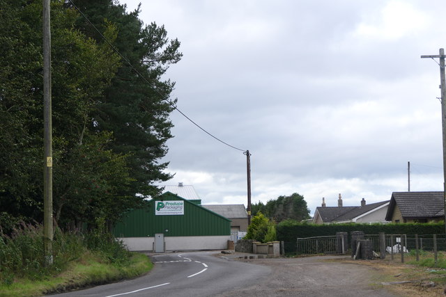
Image: © Mary Rodgers Taken: 29 Aug 2020
Cherryfield is a little hamlet on the edge of Kingsmuir and in the middle of farming country. The Product Packaging unit will be used for packing and distribution of local product.
Images are licensed for reuse under creativecommons.org/licenses/by-sa/2.0
Image Location
Latitude
56.625527
Longitude
-2.850729