Duston Mill Reservoir
Introduction
The photograph on this page of Duston Mill Reservoir by Robin Webster as part of the Geograph project.
The Geograph project started in 2005 with the aim of publishing, organising and preserving representative images for every square kilometre of Great Britain, Ireland and the Isle of Man.

There are currently over 7.5m images from over 14,400 individuals and you can help contribute to the project by visiting https://www.geograph.org.uk
Duston Mill Reservoir
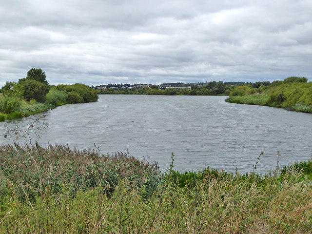
Image: © Robin Webster Taken: 4 Sep 2016
The River Nene in times of flood overspills into it at the far end, so it is really a holding pond as well as an amenity.
Images are licensed for reuse under creativecommons.org/licenses/by-sa/2.0
Image Location
Latitude
52.231701
Longitude
-0.91747