Llwybr ger Pantycwarre / Path near Pantycwarre
Introduction
The photograph on this page of Llwybr ger Pantycwarre / Path near Pantycwarre by Alan Richards as part of the Geograph project.
The Geograph project started in 2005 with the aim of publishing, organising and preserving representative images for every square kilometre of Great Britain, Ireland and the Isle of Man.

There are currently over 7.5m images from over 14,400 individuals and you can help contribute to the project by visiting https://www.geograph.org.uk
Llwybr ger Pantycwarre / Path near Pantycwarre
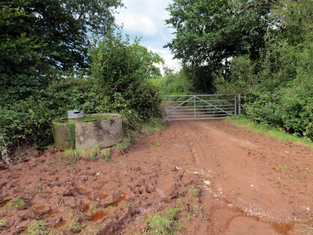
Image: © Alan Richards Taken: 28 Aug 2020
Llwybr cyhoeddus yn mynd i gyfeiriad anhedd-dy o'r enw Pantycwarre. A public footpath heading in the direction of a property known as Pantycwarre (trans. hollow of the quarries/rocks).
Images are licensed for reuse under creativecommons.org/licenses/by-sa/2.0
Image Location
Latitude
51.82451
Longitude
-4.196662