Lindsayfield houses and pasture
Introduction
The photograph on this page of Lindsayfield houses and pasture by Alec MacKinnon as part of the Geograph project.
The Geograph project started in 2005 with the aim of publishing, organising and preserving representative images for every square kilometre of Great Britain, Ireland and the Isle of Man.

There are currently over 7.5m images from over 14,400 individuals and you can help contribute to the project by visiting https://www.geograph.org.uk
Lindsayfield houses and pasture
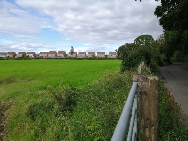
Image: © Alec MacKinnon Taken: 28 Aug 2020
Lindsayfield is a fairly new housing estate on the south edge of East Kilbride, next to farmland. The country road seen here runs along the south edge of Lindsayfield.
Images are licensed for reuse under creativecommons.org/licenses/by-sa/2.0
Image Location
Latitude
55.736407
Longitude
-4.211869