Wetland by Shepherd's Croft
Introduction
The photograph on this page of Wetland by Shepherd's Croft by Andrew Wood as part of the Geograph project.
The Geograph project started in 2005 with the aim of publishing, organising and preserving representative images for every square kilometre of Great Britain, Ireland and the Isle of Man.

There are currently over 7.5m images from over 14,400 individuals and you can help contribute to the project by visiting https://www.geograph.org.uk
Wetland by Shepherd's Croft
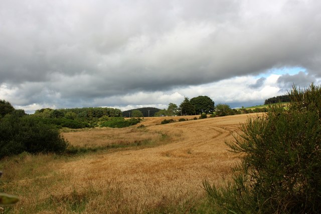
Image: © Andrew Wood Taken: 28 Aug 2020
Wetland and brush between Rinalloch and Shepherd's Croft caused by the headwaters of the emergent Douglas Burn.
Images are licensed for reuse under creativecommons.org/licenses/by-sa/2.0
Image Location
Latitude
57.166615
Longitude
-2.584663