Bournemouth: footpath D10 to Weston Drive
Introduction
The photograph on this page of Bournemouth: footpath D10 to Weston Drive by Chris Downer as part of the Geograph project.
The Geograph project started in 2005 with the aim of publishing, organising and preserving representative images for every square kilometre of Great Britain, Ireland and the Isle of Man.

There are currently over 7.5m images from over 14,400 individuals and you can help contribute to the project by visiting https://www.geograph.org.uk
Bournemouth: footpath D10 to Weston Drive
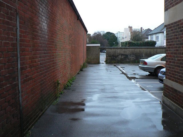
Image: © Chris Downer Taken: 11 Jan 2008
This driveway, to the car park at the rear of Beacon House (see Image), is also a public footpath which goes through that archway to Weston Drive. See also Image An alternative route is around the back of Beacon House - see Image See Image for the view from the very start of the path, behind us.
Images are licensed for reuse under creativecommons.org/licenses/by-sa/2.0
Image Location
Latitude
50.721784
Longitude
-1.862394