Heol fach ger Pant-y -parchell / Minor road near Pant-y-parchell
Introduction
The photograph on this page of Heol fach ger Pant-y -parchell / Minor road near Pant-y-parchell by Alan Richards as part of the Geograph project.
The Geograph project started in 2005 with the aim of publishing, organising and preserving representative images for every square kilometre of Great Britain, Ireland and the Isle of Man.

There are currently over 7.5m images from over 14,400 individuals and you can help contribute to the project by visiting https://www.geograph.org.uk
Heol fach ger Pant-y -parchell / Minor road near Pant-y-parchell
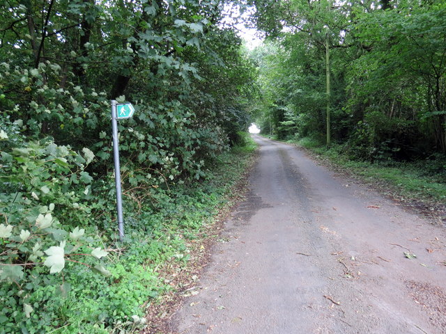
Image: © Alan Richards Taken: 26 Aug 2020
Heol fach ger anhedd-dy o'r enw Pant-y-parchell yn mynd i gyfeiriad ffordd ddeuol frysur yr A48. Dynoda'r arwyddbost fod llwybr cyhoeddus yn gadael yr heol yn y lleoliad hwn. A minor road near a property known as Pant-y-parchell (trans. hollow of the piglet) heading towards the busy A48 dual carriageway. The walking man signpost signifies that a footpath exits the road at this location.
Images are licensed for reuse under creativecommons.org/licenses/by-sa/2.0
Image Location
Latitude
51.842192
Longitude
-4.198394