Communications mast at Harpercroft
Introduction
The photograph on this page of Communications mast at Harpercroft by Mary and Angus Hogg as part of the Geograph project.
The Geograph project started in 2005 with the aim of publishing, organising and preserving representative images for every square kilometre of Great Britain, Ireland and the Isle of Man.

There are currently over 7.5m images from over 14,400 individuals and you can help contribute to the project by visiting https://www.geograph.org.uk
Communications mast at Harpercroft
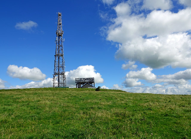
Image: © Mary and Angus Hogg Taken: 24 Aug 2020
The 1857 OS map shows the site at Harpercroft as a camp which, according to the 1857 OS Name Book, possibly dates from Roman times. Other sources suggest prehistoric origins. This view shows the platform in the middle of the site inside an inner defensive wall.
Images are licensed for reuse under creativecommons.org/licenses/by-sa/2.0
Image Location
Latitude
55.558709
Longitude
-4.601341