Rickety Bridleway Signpost
Introduction
The photograph on this page of Rickety Bridleway Signpost by Dave Pinniger as part of the Geograph project.
The Geograph project started in 2005 with the aim of publishing, organising and preserving representative images for every square kilometre of Great Britain, Ireland and the Isle of Man.

There are currently over 7.5m images from over 14,400 individuals and you can help contribute to the project by visiting https://www.geograph.org.uk
Rickety Bridleway Signpost
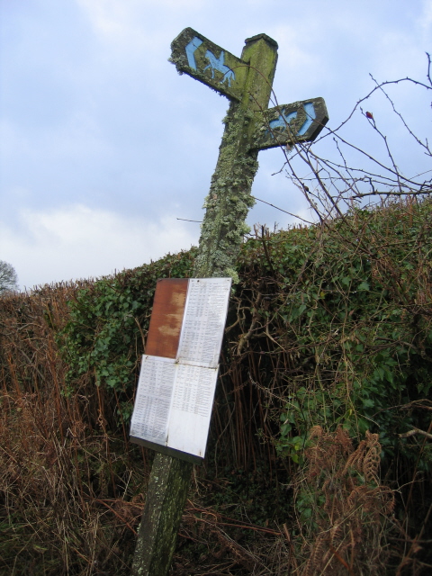
Image: © Dave Pinniger Taken: 14 Jan 2008
The temporary attached lists appear to indicate various alternative routes for local footpaths and bridleways - probably to accommodate disruption caused by the recent major gas pipeline construction works which passed through this area.
Images are licensed for reuse under creativecommons.org/licenses/by-sa/2.0
Image Location
Latitude
51.976954
Longitude
-3.393101