Church Meadow Lane, Upton
Introduction
The photograph on this page of Church Meadow Lane, Upton by Alan Murray-Rust as part of the Geograph project.
The Geograph project started in 2005 with the aim of publishing, organising and preserving representative images for every square kilometre of Great Britain, Ireland and the Isle of Man.

There are currently over 7.5m images from over 14,400 individuals and you can help contribute to the project by visiting https://www.geograph.org.uk
Church Meadow Lane, Upton
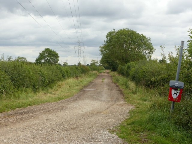
Image: © Alan Murray-Rust Taken: 23 Aug 2020
Field access lane and public bridleway, it specifically gives access also for farm vehicles to Chapel Farm without needing to use the restricted access onto Main Street.
Images are licensed for reuse under creativecommons.org/licenses/by-sa/2.0
Image Location
Latitude
53.076431
Longitude
-0.909691