Shedock Farm
Introduction
The photograph on this page of Shedock Farm by Gordon Brown as part of the Geograph project.
The Geograph project started in 2005 with the aim of publishing, organising and preserving representative images for every square kilometre of Great Britain, Ireland and the Isle of Man.

There are currently over 7.5m images from over 14,400 individuals and you can help contribute to the project by visiting https://www.geograph.org.uk
Shedock Farm
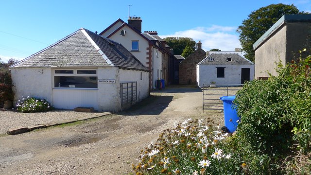
Image: © Gordon Brown Taken: 24 Aug 2020
Note the spelling confusion. The farm names itself "Shedock"; the OS varies between "Shedog" and "Shedock" depending on the mapping scale. The hamlet here is consistently "Shedog".
Images are licensed for reuse under creativecommons.org/licenses/by-sa/2.0
Image Location
Latitude
55.520565
Longitude
-5.306641