Miners Welfare Recreation Ground, Paulton
Introduction
The photograph on this page of Miners Welfare Recreation Ground, Paulton by Derek Harper as part of the Geograph project.
The Geograph project started in 2005 with the aim of publishing, organising and preserving representative images for every square kilometre of Great Britain, Ireland and the Isle of Man.

There are currently over 7.5m images from over 14,400 individuals and you can help contribute to the project by visiting https://www.geograph.org.uk
Miners Welfare Recreation Ground, Paulton
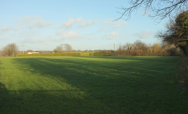
Image: © Derek Harper Taken: 9 Dec 2019
The hedge left of centre borders the bowling green. Behind is a community centre. There is also a BMX track to the left of the camera.
Images are licensed for reuse under creativecommons.org/licenses/by-sa/2.0
Image Location
Latitude
51.301133
Longitude
-2.504854