River Stour, Mill Road, looking south
Introduction
The photograph on this page of River Stour, Mill Road, looking south by P L Chadwick as part of the Geograph project.
The Geograph project started in 2005 with the aim of publishing, organising and preserving representative images for every square kilometre of Great Britain, Ireland and the Isle of Man.

There are currently over 7.5m images from over 14,400 individuals and you can help contribute to the project by visiting https://www.geograph.org.uk
River Stour, Mill Road, looking south
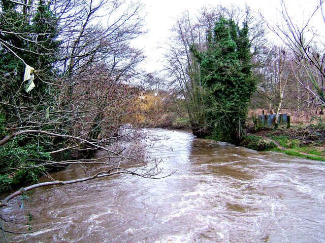
Image: © P L Chadwick Taken: 13 Jan 2008
The River Stour is flowing fairly fast at this point. Surface water also drains into it near this point which increases the flow. Typically for this river around Stourport, some detritus can be seen adorning the tree branch on the left of the picture. Further views of this river can be seen on Image and Image, and Image
Images are licensed for reuse under creativecommons.org/licenses/by-sa/2.0
Image Location
Latitude
52.341105
Longitude
-2.262984