Part of Castle Farm
Introduction
The photograph on this page of Part of Castle Farm by Des Blenkinsopp as part of the Geograph project.
The Geograph project started in 2005 with the aim of publishing, organising and preserving representative images for every square kilometre of Great Britain, Ireland and the Isle of Man.

There are currently over 7.5m images from over 14,400 individuals and you can help contribute to the project by visiting https://www.geograph.org.uk
Part of Castle Farm
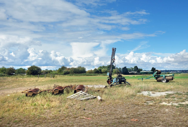
Image: © Des Blenkinsopp Taken: 17 Aug 2020
The Saxon Shore Way goes around the back of Castle Farm on the way to Camber Castle and Rye. A lot going on with the clouds today, but the sun keeps on shining.
Images are licensed for reuse under creativecommons.org/licenses/by-sa/2.0
Image Location
Latitude
50.927187
Longitude
0.729433