Whittington Walk housing development, Worcester
Introduction
The photograph on this page of Whittington Walk housing development, Worcester by Chris Allen as part of the Geograph project.
The Geograph project started in 2005 with the aim of publishing, organising and preserving representative images for every square kilometre of Great Britain, Ireland and the Isle of Man.

There are currently over 7.5m images from over 14,400 individuals and you can help contribute to the project by visiting https://www.geograph.org.uk
Whittington Walk housing development, Worcester
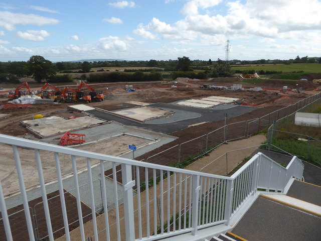
Image: © Chris Allen Taken: 22 Aug 2020
Seen from the new footbridge over the A4440. This bridge had not been open for long and this was my first wander onto it. Out of sight to the left there is a mixture of completed and part finished houses but in this view it is footings only. There is a supply of wooden roof trusses visible in the distance. A public footpath continues between Heras fencing to the right.
Images are licensed for reuse under creativecommons.org/licenses/by-sa/2.0
Image Location
Latitude
52.182227
Longitude
-2.177217