Access to Mossa Grange
Introduction
The photograph on this page of Access to Mossa Grange by Chris Heaton as part of the Geograph project.
The Geograph project started in 2005 with the aim of publishing, organising and preserving representative images for every square kilometre of Great Britain, Ireland and the Isle of Man.

There are currently over 7.5m images from over 14,400 individuals and you can help contribute to the project by visiting https://www.geograph.org.uk
Access to Mossa Grange
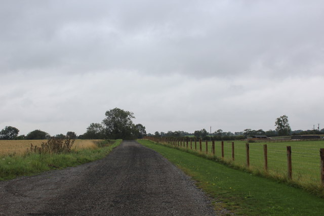
Image: © Chris Heaton Taken: 18 Aug 2020
Access track leading off the B6271 to Mossa Grange, The Mill, The Byre and The Granary.
Images are licensed for reuse under creativecommons.org/licenses/by-sa/2.0
Image Location
Latitude
54.363923
Longitude
-1.509494