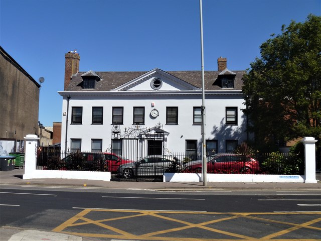
Gloucester buildings [1]
Introduction
The photograph on this page of Gloucester buildings [1] by Michael Dibb as part of the Geograph project.
The Geograph project started in 2005 with the aim of publishing, organising and preserving representative images for every square kilometre of Great Britain, Ireland and the Isle of Man.
There are currently over 7.5m images from over 14,400 individuals and you can help contribute to the project by visiting https://www.geograph.org.uk

Image: © Michael Dibb Taken: 1 Jun 2020
Built as a house and now used as offices, the delightful Northgate House was built in the mid/late 17th century. The house was refronted in the mid 18th century in brick with stucco. There have been later alterations. In front are some fine corner piers, wrought-iron railings set on a stone plinth and wrought-iron double gates framed by decorative standards and overthrow. Listed, grade II*, with details at: https://historicengland.org.uk/listing/the-list/list-entry/1271700 The cathedral city and county town of Gloucestershire, Gloucester lies on the River Severn and is linked via the Gloucester and Sharpness Canal to the river’s estuary. Founded by the Romans in AD 97, the city gained its first charter in 1155. In the Middle Ages there were a large number of monastic establishments including St Peter's Abbey founded in 679 - later Gloucester Cathedral. Until the construction of the Severn Bridge in 1966, Gloucester was the lowest road bridging point on the River Severn. The city has a long association with the aerospace business, including the Gloster Aircraft Company.

