Lane down to the B1268, Upleatham
Introduction
The photograph on this page of Lane down to the B1268, Upleatham by Humphrey Bolton as part of the Geograph project.
The Geograph project started in 2005 with the aim of publishing, organising and preserving representative images for every square kilometre of Great Britain, Ireland and the Isle of Man.

There are currently over 7.5m images from over 14,400 individuals and you can help contribute to the project by visiting https://www.geograph.org.uk
Lane down to the B1268, Upleatham
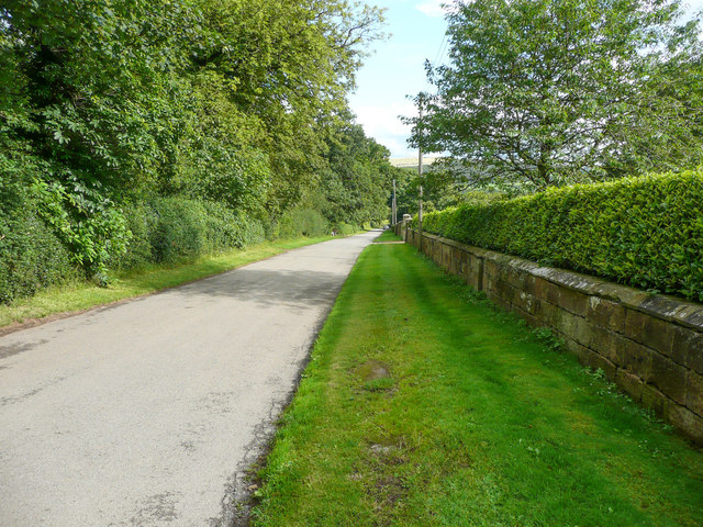
Image: © Humphrey Bolton Taken: 2 Aug 2020
This used to the main road, which came through the village before the bypass was constructed sometime between 1894 and 1915.
Images are licensed for reuse under creativecommons.org/licenses/by-sa/2.0
Image Location
Latitude
54.564998
Longitude
-1.02517