Along the path to Upper Lintz Farm
Introduction
The photograph on this page of Along the path to Upper Lintz Farm by Robert Graham as part of the Geograph project.
The Geograph project started in 2005 with the aim of publishing, organising and preserving representative images for every square kilometre of Great Britain, Ireland and the Isle of Man.

There are currently over 7.5m images from over 14,400 individuals and you can help contribute to the project by visiting https://www.geograph.org.uk
Along the path to Upper Lintz Farm
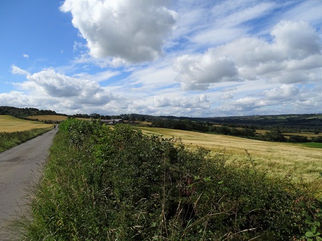
Image: © Robert Graham Taken: 3 Aug 2020
Looking south along the former colliery railway path. Good views of the upper Derwent valley also, and Pontop Pike in the distance.
Images are licensed for reuse under creativecommons.org/licenses/by-sa/2.0
Image Location
Latitude
54.893882
Longitude
-1.746613