The River Bann in flood (5)
Introduction
The photograph on this page of The River Bann in flood (5) by Albert Bridge as part of the Geograph project.
The Geograph project started in 2005 with the aim of publishing, organising and preserving representative images for every square kilometre of Great Britain, Ireland and the Isle of Man.

There are currently over 7.5m images from over 14,400 individuals and you can help contribute to the project by visiting https://www.geograph.org.uk
The River Bann in flood (5)
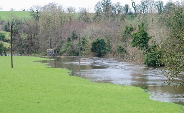
Image: © Albert Bridge Taken: 13 Jan 2008
See Image The view upstream. For another view with the Bann at a much lower level see Image (Note – the Google map is not accurate – see the Multimap instead).
Images are licensed for reuse under creativecommons.org/licenses/by-sa/2.0
Image Location


Leaflet Map data © OpenStreetMap
Latitude
54.338528
Longitude
-6.209582