Overton Back Road
Introduction
The photograph on this page of Overton Back Road by Andrew Wood as part of the Geograph project.
The Geograph project started in 2005 with the aim of publishing, organising and preserving representative images for every square kilometre of Great Britain, Ireland and the Isle of Man.

There are currently over 7.5m images from over 14,400 individuals and you can help contribute to the project by visiting https://www.geograph.org.uk
Overton Back Road
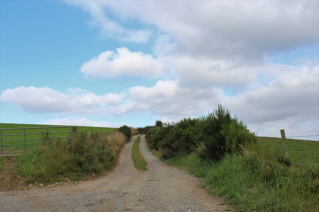
Image: © Andrew Wood Taken: 19 Aug 2020
An outlet above Earlford of an interesting small lane network linking North and South Andet and Overton of Keithfield.
Images are licensed for reuse under creativecommons.org/licenses/by-sa/2.0
Image Location
Latitude
57.398087
Longitude
-2.274862