Earlsford Farm
Introduction
The photograph on this page of Earlsford Farm by Andrew Wood as part of the Geograph project.
The Geograph project started in 2005 with the aim of publishing, organising and preserving representative images for every square kilometre of Great Britain, Ireland and the Isle of Man.

There are currently over 7.5m images from over 14,400 individuals and you can help contribute to the project by visiting https://www.geograph.org.uk
Earlsford Farm
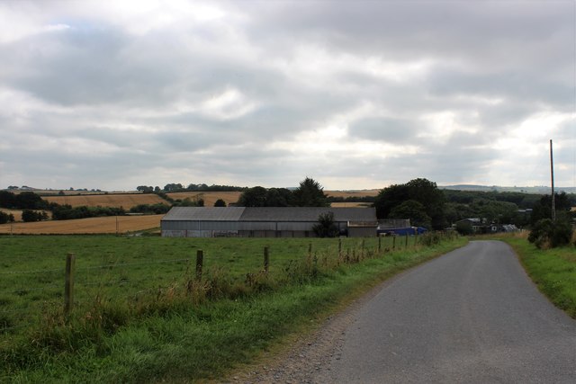
Image: © Andrew Wood Taken: 19 Aug 2020
Down hill to the substantial farm of Easlsford. Earlsford shows in the OS name book as being the property of the Earl of Aberdeen so it's presumably named after him, the ford having been over the Burn of Keithfield.
Images are licensed for reuse under creativecommons.org/licenses/by-sa/2.0
Image Location
Latitude
57.396915
Longitude
-2.276684