Field north of Timsbury
Introduction
The photograph on this page of Field north of Timsbury by Derek Harper as part of the Geograph project.
The Geograph project started in 2005 with the aim of publishing, organising and preserving representative images for every square kilometre of Great Britain, Ireland and the Isle of Man.

There are currently over 7.5m images from over 14,400 individuals and you can help contribute to the project by visiting https://www.geograph.org.uk
Field north of Timsbury
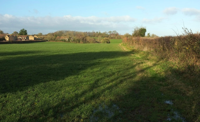
Image: © Derek Harper Taken: 9 Dec 2019
Looking right from beyond the gate shown in Image The houses on the left are on Upper Furlong.
Images are licensed for reuse under creativecommons.org/licenses/by-sa/2.0
Image Location
Latitude
51.331025
Longitude
-2.474036