Old lime kiln near Hag Burn
Introduction
The photograph on this page of Old lime kiln near Hag Burn by Mary and Angus Hogg as part of the Geograph project.
The Geograph project started in 2005 with the aim of publishing, organising and preserving representative images for every square kilometre of Great Britain, Ireland and the Isle of Man.

There are currently over 7.5m images from over 14,400 individuals and you can help contribute to the project by visiting https://www.geograph.org.uk
Old lime kiln near Hag Burn
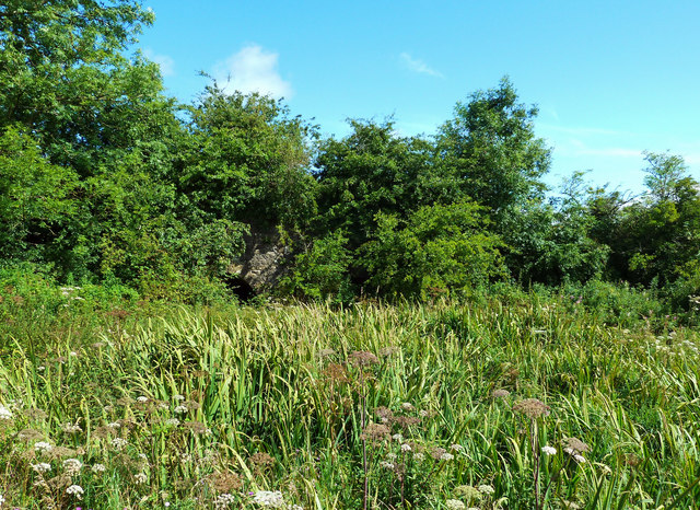
Image: © Mary and Angus Hogg Taken: 19 Aug 2020
An old lime kiln near Hag Burn surrounded by flowers and bushes. The 1857 OS map shows it as disused. The steep cuts around it are the remains of the old limestone quarry.
Images are licensed for reuse under creativecommons.org/licenses/by-sa/2.0
Image Location
Latitude
55.618996
Longitude
-4.353589