Church Farm, Hubberholme
Introduction
The photograph on this page of Church Farm, Hubberholme by Stephen Craven as part of the Geograph project.
The Geograph project started in 2005 with the aim of publishing, organising and preserving representative images for every square kilometre of Great Britain, Ireland and the Isle of Man.

There are currently over 7.5m images from over 14,400 individuals and you can help contribute to the project by visiting https://www.geograph.org.uk
Church Farm, Hubberholme
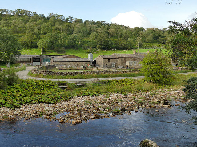
Image: © Stephen Craven Taken: 17 Aug 2020
The 17th century farmhouse is grade II listed (list entry 1296946). This is a view from across the river.
Images are licensed for reuse under creativecommons.org/licenses/by-sa/2.0
Image Location
Latitude
54.200129
Longitude
-2.113552